On display at Cal-(IT)2 through Dec. 15, computer program Scalable City allows users to input raw geo-spatial data, which is then rendered as 3-D images of cities and landscapes. According to developer Sheldon Brown, the program is meant to be applied in the field of urban planning. (Photo Illustration by Erik Jepsen/Guardian)
- SCLU hosts protest calling for increased UC protection of non-citizen students
- DHS places multiple San Diego cities on now-unavailable sanctuary jurisdictions list
- UC Investments to acquire NDNU campus property
- Potential federal crackdown on Chinese students’ visas could impact UC campuses
- UC system next target for federal antisemitism lawsuits, DOJ says
- Extra! Extra! News in Brief – Week 10
- AS CFO, CPO, and CCO appointed for 2025-26 academic year
- Gov. Gavin Newsom releases revised 2025-26 California state budget
- Extra! Extra! News in Brief – Week 9
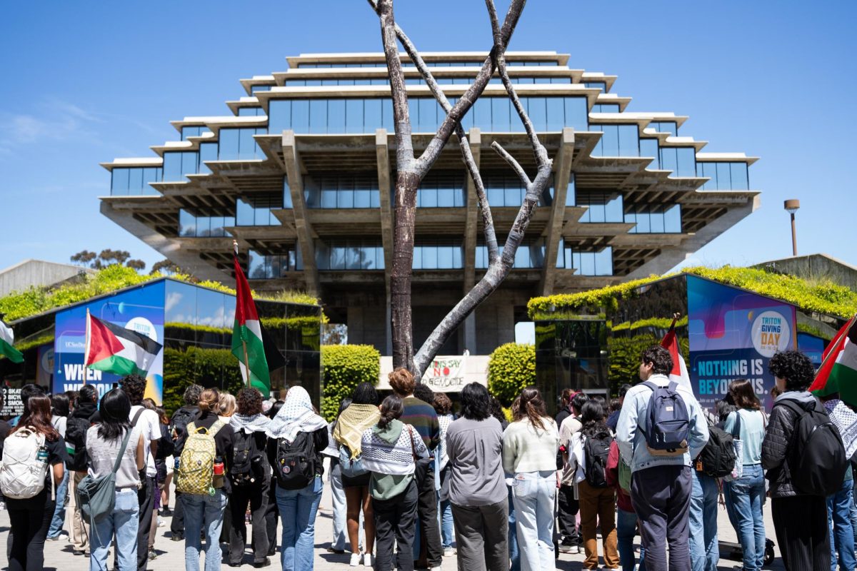
- UCSD community protests former Israeli ambassador’s public lecture